Soil to Space
Capturing Quality Data
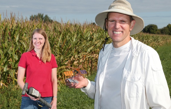
Amy Kaleita, associate professor of agricultural and biosystems engineering, has many reasons for working with remote sensing.
“I got into sensors because I think they’re cool and fun,” she says, “but also as a grad- uate student I did enough field work by hand that I thought, we’d never be able to answer these big questions this way because it’s so time consuming and so resource intensive to collect high quality data on the ground with traditional techniques.”
A good deal of her research deals with keeping tabs on soil moisture using sensors close to or in the ground. Brian Hornbuckle, a research partner and an associate professor of agronomy, is doing similar work from space using satellites.
Getting better data on soil moisture would benefit producers in many ways, they say. “If you understand soil moisture, you can integrate that information into decision-making tools and ecosystem and hydrology models to help understand the ripple effects of those properties,” she says.
Getting a better handle on soil moisture also would give scientists a way to track water and what might be carried with it, such as plant nutrients. Hornbuckle says weather and crop forecasting could be improved with more accurate and timely moisture data.
“This is a big weakness in weather forecasting,” he says. “We’re hoping after we have good measurements of soil moisture we’ll be able to model this effect better and have better forecasts, not just next week or next month but the next growing season.”
Weather forecasters are interested in county-level data, but producers would like it closer to home. The advantage of satellites is the information is consistent and is collected every other day around the globe. A disadvantage is just one value represents the average conditions over a large area, sometimes as large as a typical Iowa county.
Hornbuckle’s team is trying to increase the accuracy of the NASA and European Space Agency satellites, which are reading soil drier than what ground sensors are measuring.
After they correct the readings, they can deliver the data to Kaleita to “disaggregate” using her ground-based sensors that breaks down the data to a scale that is useful to producers.
She says farmers could take the soil moisture data and combine it with other information they are getting to track the behaviors of their fields. They might use it to adjust planting depth to put the seed where moisture and temperature are optimal. If there is an area of the field where water moves through quickly, they could adjust fertilizer to account for potential losses.
“We have the technology to vary the management across a field, but what is often lacking is the data that would support setting those rates at different levels in different locations in the field,” Kaleita says.
